Well, we’re back from our big little walking trip into ‘the bay’. I’m not going to name the bay by it’s English or Aboriginal name because I don’t want random Googling to find this post. You regular readers will know the place I’m talking about, so that’s all that matters.
The bay is a very special place to me and holds treasured memories. Having seen the place again after 30 years, I don’t want to encourage too many people to visit. The bay deserves to remain a place for only the most dedicated adventurer or peace lover to enjoy.
We left town on Saturday and drove to the property where one of three trails into the bay begins. Unfortunately we got off to a bad start due to my bad memory. We parked Jimmy at the end of a vehicle track at the edge of a creek that I could have sworn was the start of the walking trail. We organised our packs and headed off into the rainforest jungle.
Within ten minutes we realised that we weren’t on a trail. In the rainforest there isnt much ground cover, except where trees have fallen and the wait-a-while vine takes advantage of the light through the broken canopy. What at first appear to be walking tracks end up being pig trails. So, as any modern adventurer would do, we pulled out our trusty Garmin Asus Nuvifone with the built in real gps system and marked the coast side of the saddle and headed that way. The saddle is the lowest part of the mountain range that protects the bay from the rest of the world. It is however very steep and very junglish. If you own a ‘gps’ phone, you’ll know that they’re not real GPS systems because they rely on the mobile phone towers to locate your position. Ours is a proper GPS system that uses the satellites, so we were OK. Don’t try this with your iphone kids.
We had to conserve battery power on the phone, so we gave ourselves a heading, switched off the phone and headed in the required direction. Every now and again we’d switch it back on and make sure we were still heading the right way. In the rainforest, it is a closed canopy, so it can be hard to track your progress using the sun.
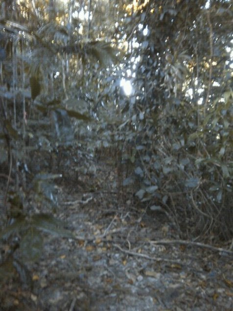
The first photo should give you a rough idea of what we were walking through. That’s actually part of the real trail, at the top of the saddle on the way back. We took no photos on the phone until we reached the cove on the way in due to battery paranoia.
A note about photos. We only took a few pics on the phone. However, we took heaps on the two cameras. When we get to a real computer we’ll post many more pics in a future post.
The original trail generally took between 2 or 3 hours to get over the saddle to the cove on the coast. We managed to cross country through the forest from the wrong starting point to the cove in roughly four hours. Our first sign that we were close was that sound of the waves gently breaking on the stony beach as we crossed the ridge. Then, about 100 metres down the side, while following a steep rocky stream flow, we came across orange strips of tape hanging from trees that marked the real trail. By the time we got to the bottom we were well and truly buggered. We decided to stop there for the night. We were worn out, it was getting late and the next leg was a 4 kilometre rock hopping trek along the coastline. The rainforest covered mountains here drop straight onto the coast, so it is next to impossible to try walking above the rocks and the tide line. We made a campfire, had a well earned coffee, ate some dried fruit and some nuts, and crashed for the night under the stars, and to the sounds of the forest and ocean.
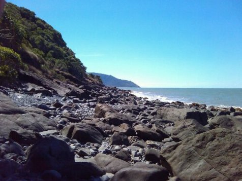
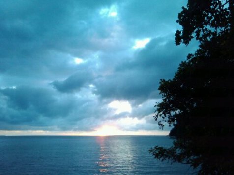
We woke just before dawn on Sunday (check the photo). Breakfast was coffee and oats, but not mixed together. The next couple of photos will give you an idea of what we had to cross to get to the bay. So close, yet so far.
After brekky we headed off. It was far tougher than my 30 year memoy recalled. We had easy rock hopping. We had hard rock hopping. We had a little break on a small beach. We crossed the top of rock outcrops where a slip meant a 15 metre fall onto oyster covered rocks and probable death.
We were about a kilometre from the bay, stepping across relatively easy rocks when I took a little slip. I smashed my shin and base of my knee along a rock. I waited a second or two to make sure I hadn’t broken anything before moving from my unintentioned planking position. I was OK, but I had definitely got some nice scrapes and some good deep bruising. Silly me. All along I had been worrying about Tina slipping and here I was limping along with two buggered legs now 🙂 .
After about three hours we finally made it onto the white sands of the bay. We’d taken a few breaks though. Our packs were heavy and we were carrying more than we needed.
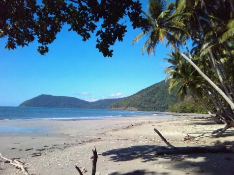
The last photo shows a view from midway up the beach looking back towards the saddle.
After 30 years I was finally back in the bay, with my best friend and soul mate by my side. It would be her birthday the next day and then I’d show her around. But for now we would make camp and rest for a bit. We’re not as young as we used to be…
…to be continued.


